
Hellroaring Hut
Trip Resources
Everything you need to plan, navigate, and prepare for your Hellroaring backcountry ski trip—available here as direct downloads.
Plan Your Stay
Start here for trip preparation, hut orientation, operating information, and required paperwork.
Preparing for a Hut Trip
Packing, planning, and practical information to review before leaving for the hut.
Hellroaring Hut Layout
Get familiar with the hut layout and sleeping areas before your group arrives.
Hut Rules
Review the operating rules that help keep the hut safe, clean, and ready for every group.
Hut Instructions & Tips
Useful instructions for operating the hut systems and making your stay run smoothly.
Waiver & Release
Review the current waiver, then complete one electronic signature for the adult participant or for the minor participant by a parent or legal guardian.
Maps & Terrain
Use these maps as planning references alongside current conditions, sound judgment, and appropriate backcountry navigation tools.
Popular Ski Runs
An overview of commonly skied terrain around the Hellroaring Hut.
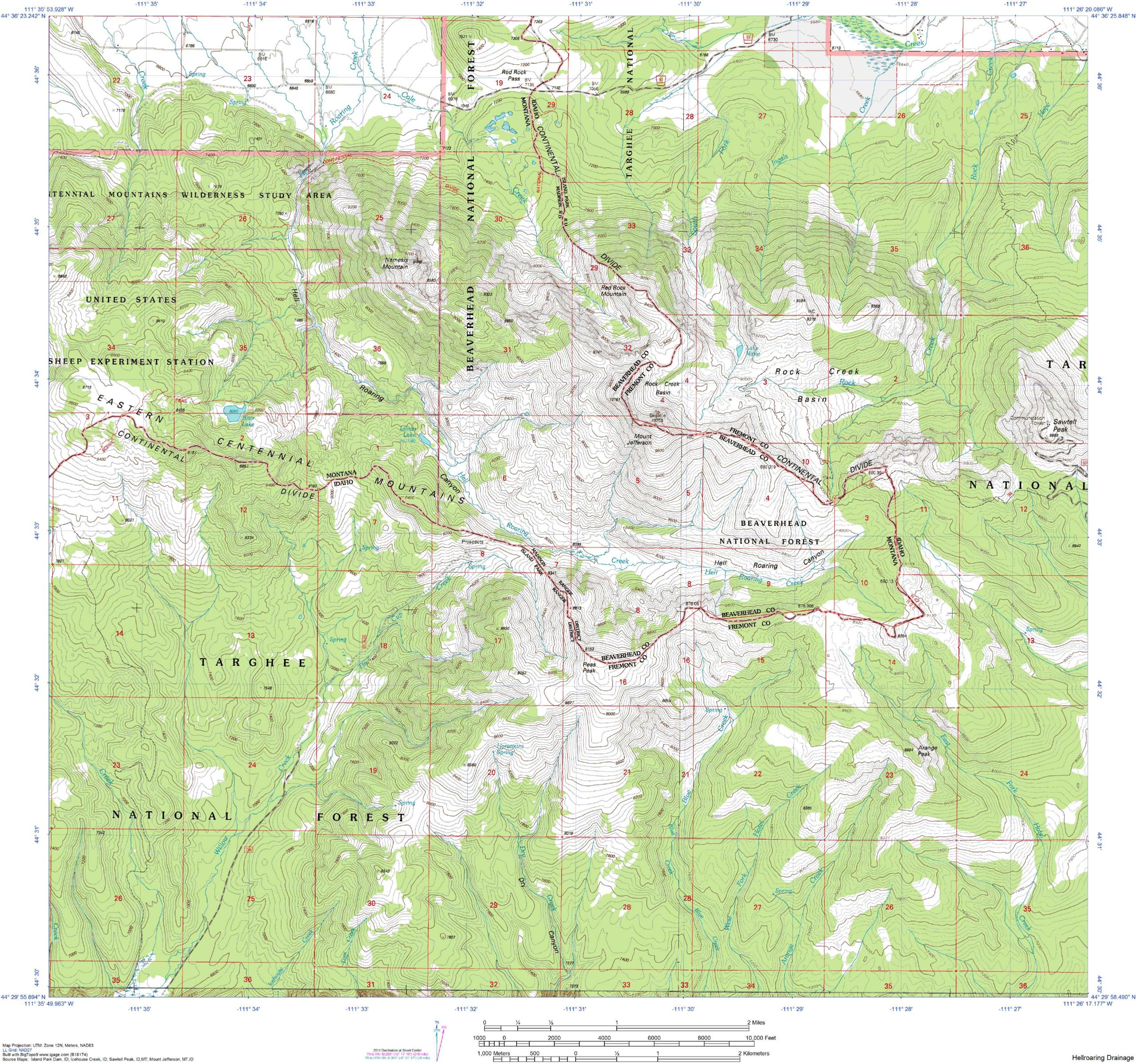
Hellroaring Drainage Map
A reference image showing the Hellroaring drainage and surrounding terrain.
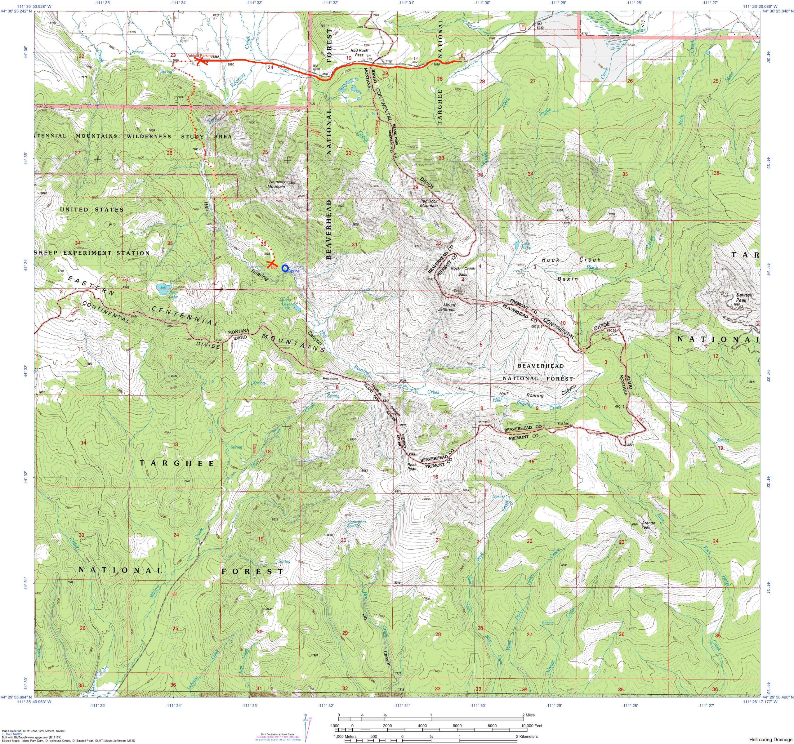
Getting to the Hut
A visual route reference for the approach to the Hellroaring Hut.
Sawtell Peak Topographic Map
Historical USGS topographic reference for the Sawtell Peak area.
Mount Jefferson Topographic Map
Historical USGS topographic reference for the Mount Jefferson area.
Upper Red Rock Lake Topographic Map
Historical USGS topographic reference for the Upper Red Rock Lake area.
Earthmate Route Screenshot
A mobile route screenshot for quick visual reference while planning.
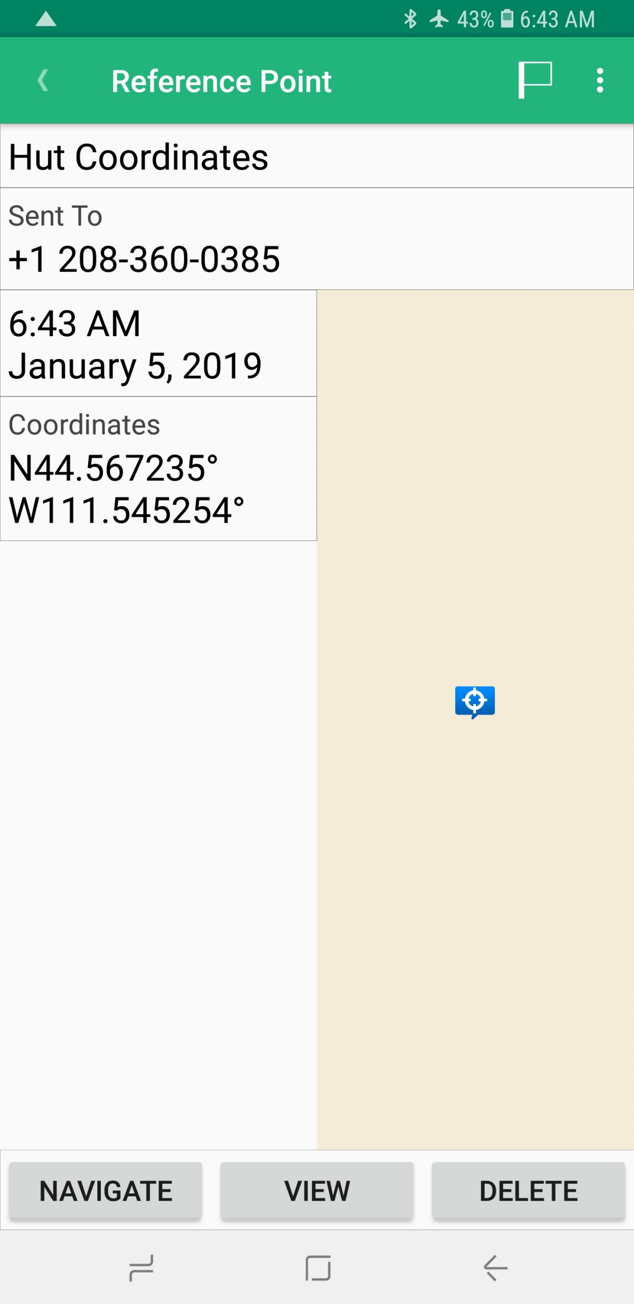
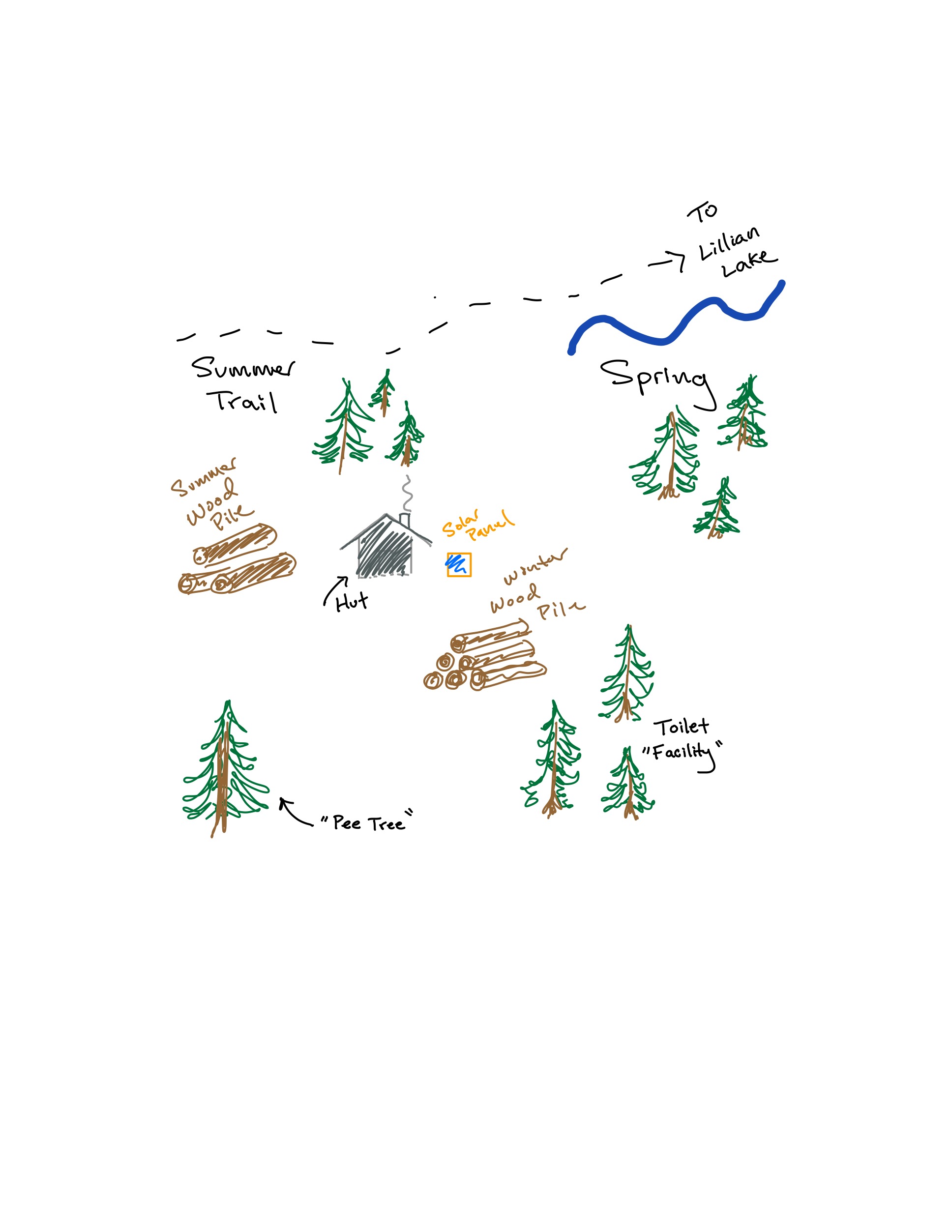
Trip Reference Note
A scanned reference note from the original Hellroaring trip resource collection.
GPS Route Files
One download includes GPX, KML, TCX, and FIT formats so you can choose the file that works with your navigation device or app.
Hellroaring GPS Route Files
Download the original route track in four common formats: GPX, KML, TCX, and FIT.